Bodies of Water
The Water Map

Europäische Wasserscheide

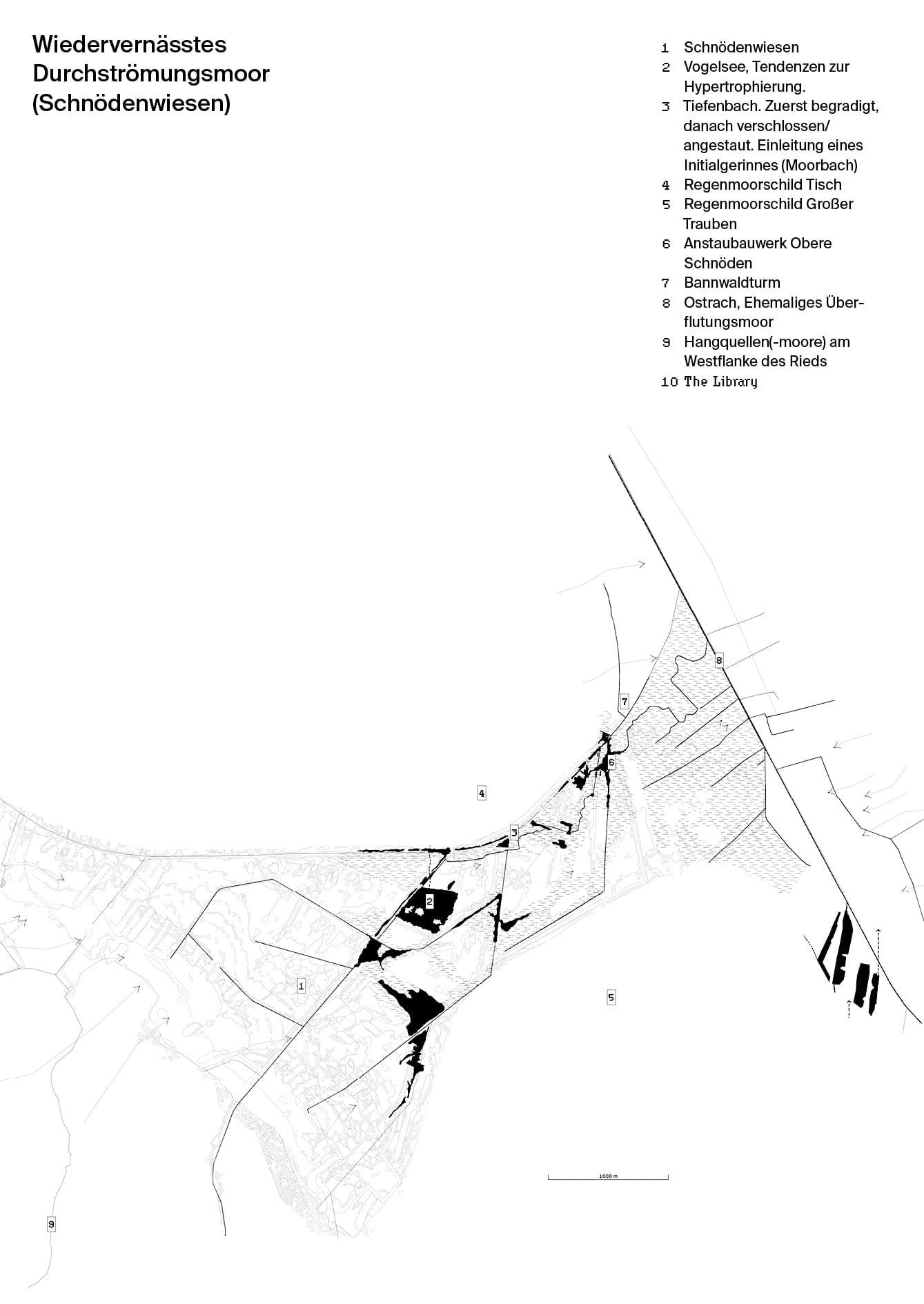
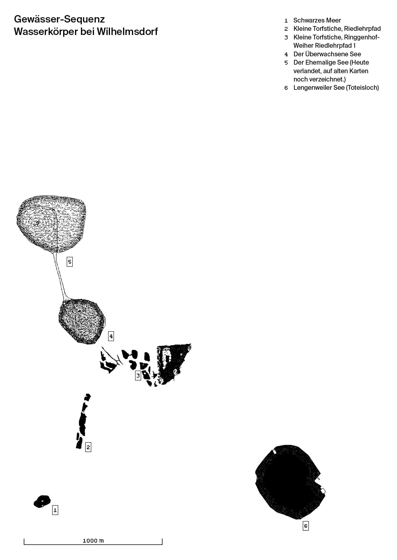
The Ried is part of the European watershed that runs from the southwest of Europe from about Gibraltar up to the far northeast and finally disappears in the swamps of the Urals. The watershed is a rather thought line that mainly divides surface waters either flowing to the northern seas, (i.e. the North Sea, the Baltic Sea and the Atlantic Ocean) or to the southern waters, such as the Mediterranean and the Black Sea. In the Ried, this border transgresses the southern end at about the level of the overgrown lake1[MT05 Überwachsener See (Moorauge): 121], so that surplus waters in the soaked fen either flows northwards via the Ostrach, following the Danube into the Black Sea, or it is drained with ditches into the Rotach that reaches Lake Constance southwards, from where the Rhine finally transports it into the Atlantic Ocean. So here again, along the blurred line of the watershed, the motif of the Archē as a space of origin manifests itself and amplifies the bogs’ role as a threshold – a zone of transition – of either or.2[A/06 Between Worlds: 193]
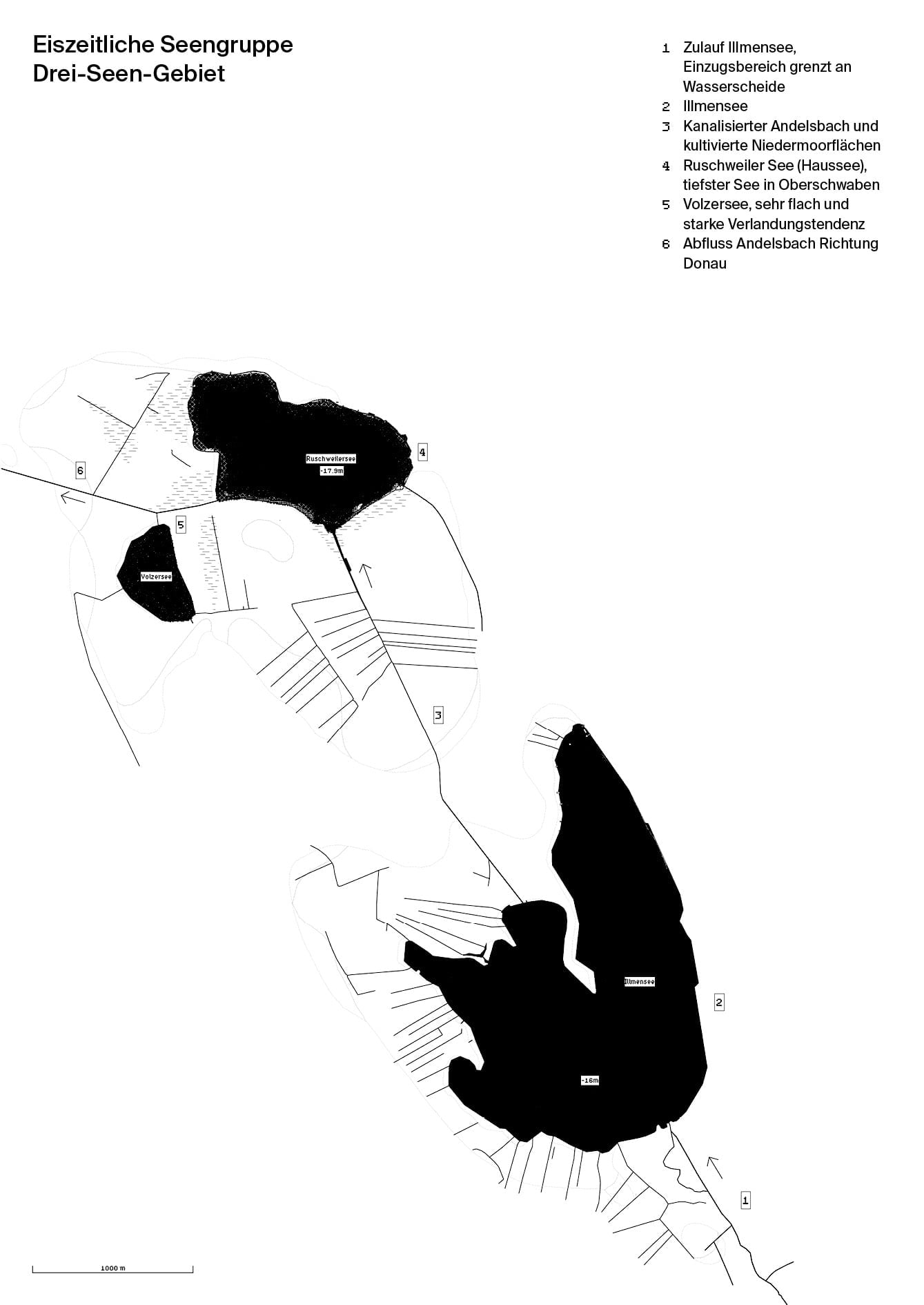
Drei—Seen—Gebiet
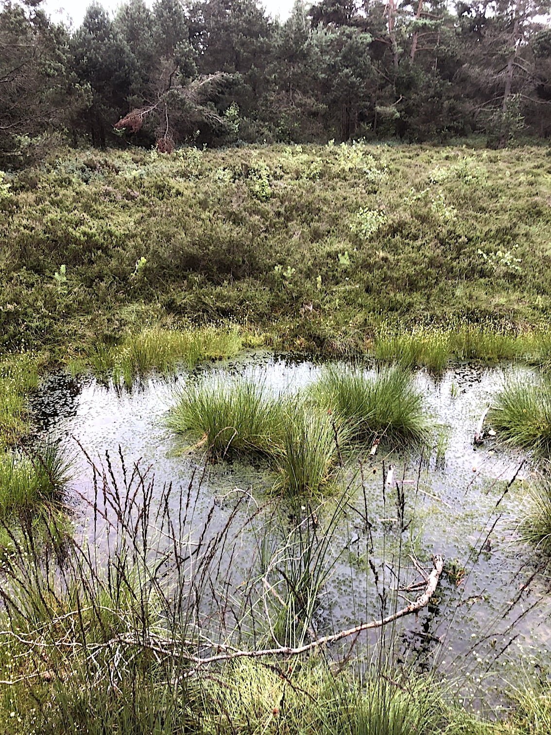
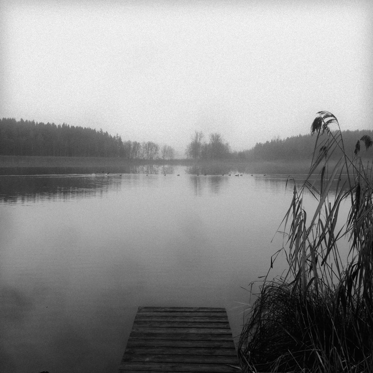
Seen bei Wilhelmsdorf
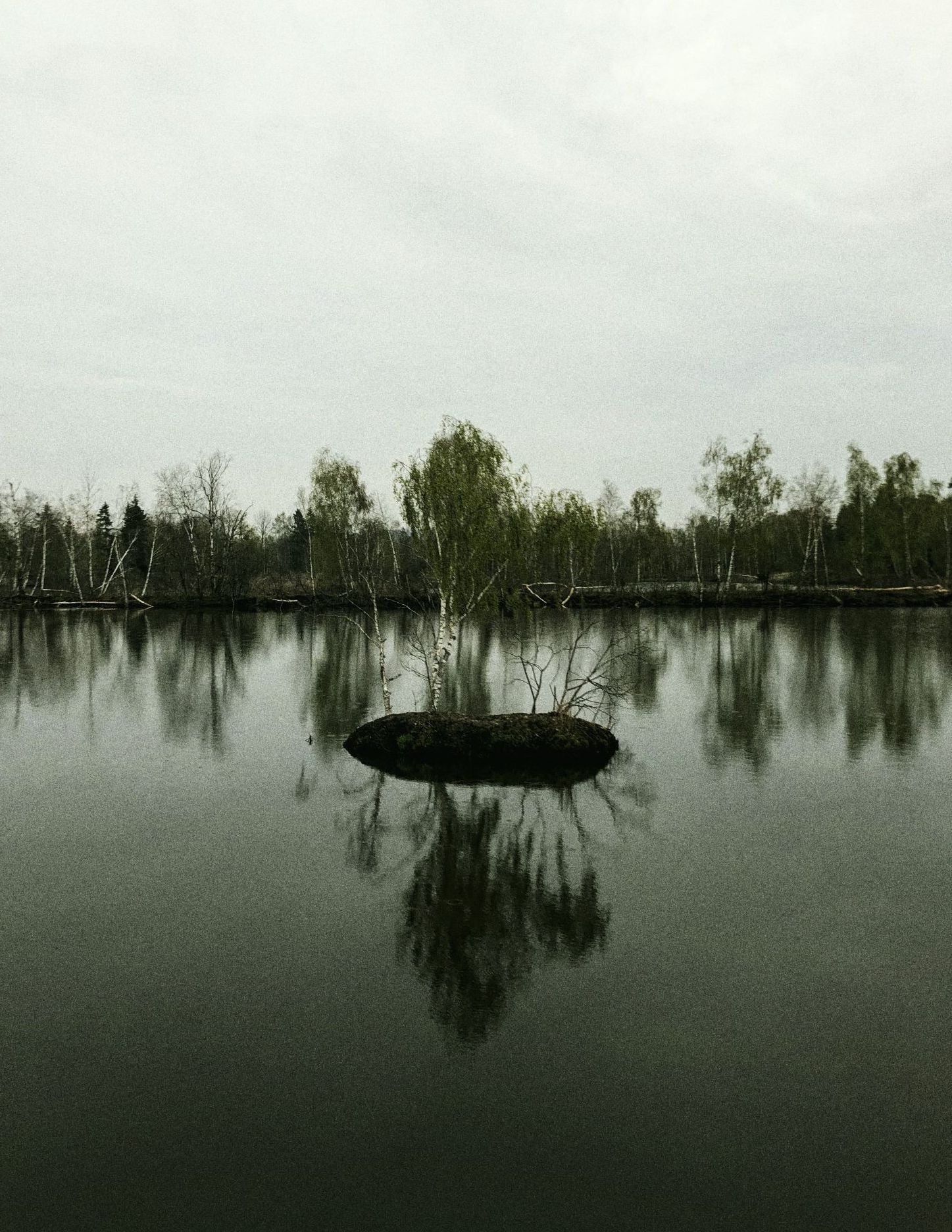
Torfstiche im Kleinen Trauben

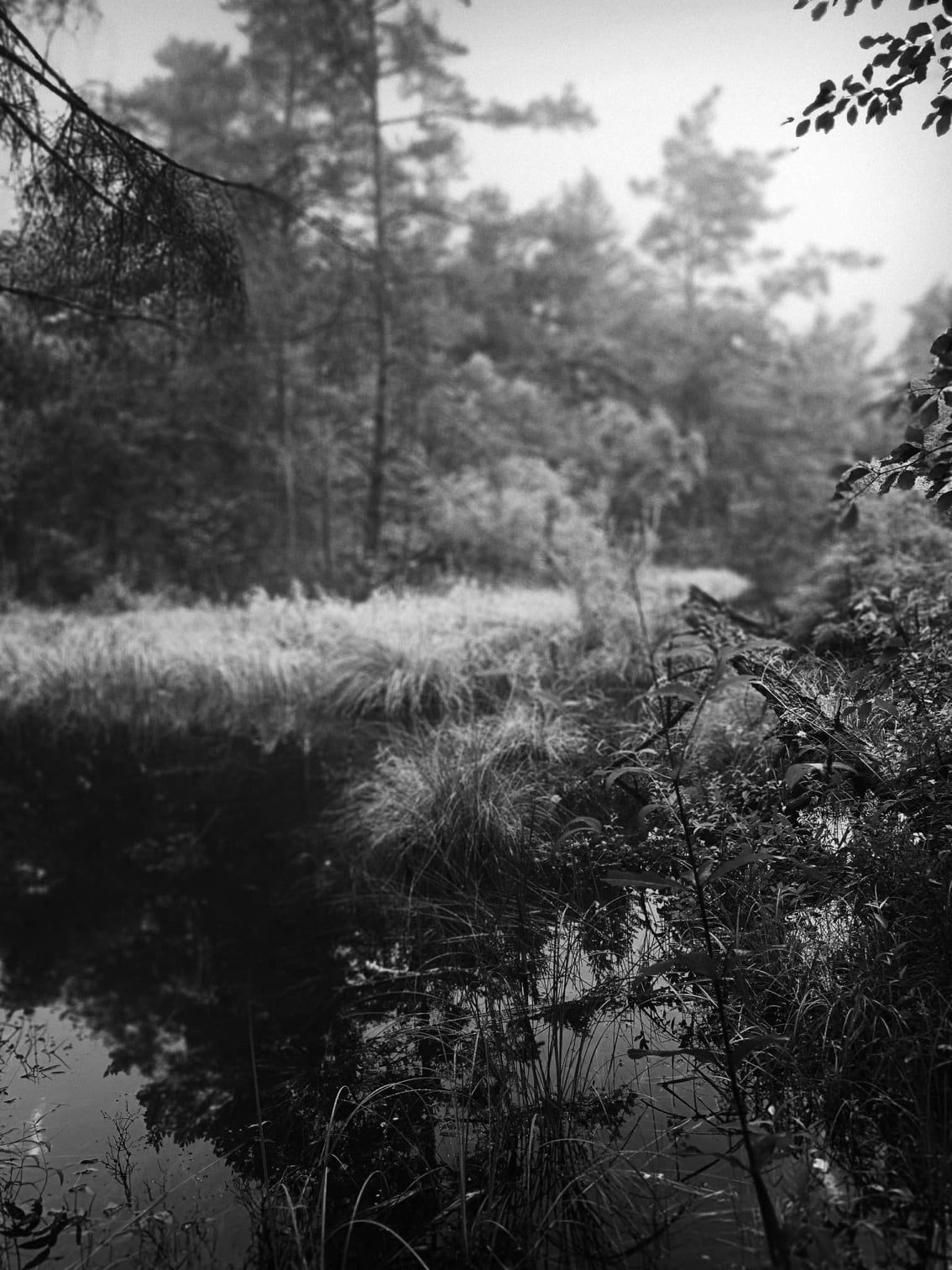

Wiedervernässtes Durchströmungsmoor
